
![]()
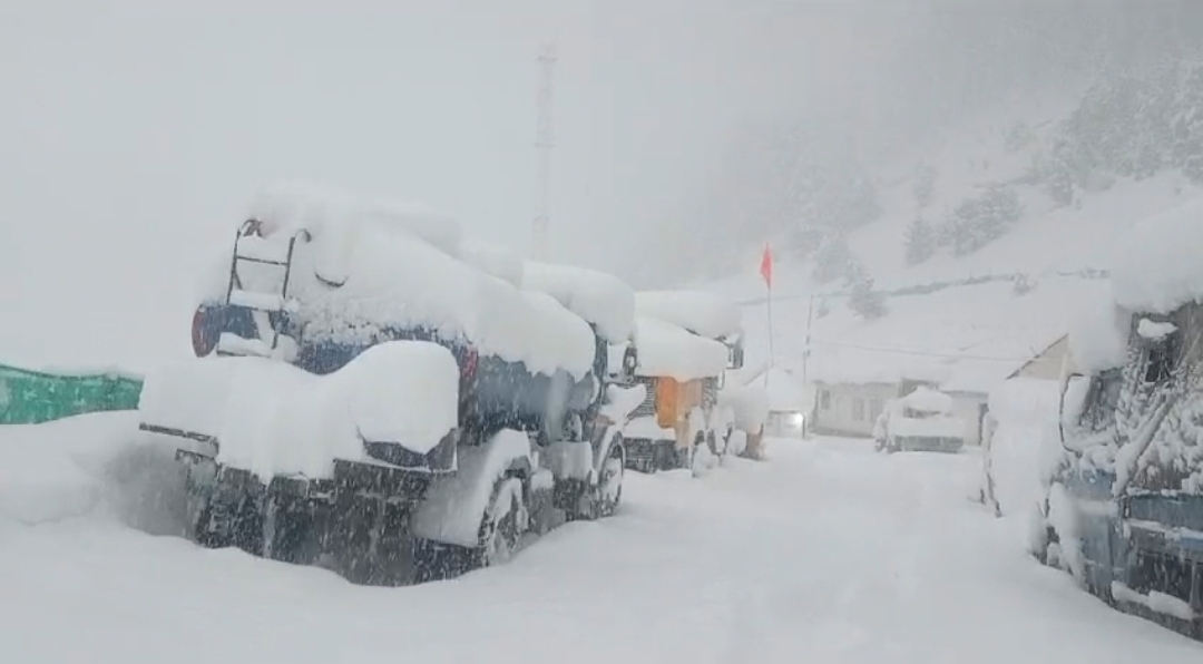
Srinagar, Feb 27 (KNO): The weather office Srinagar on Tuesday issued advisory in view of the forecast for heavy snowfall in parts of Jammu and Kashmir from February 29 to March 03.
According to the advisory, a copy of which lies with the news agency—Kashmir News Observer (KNO), an active Western disturbance most likely to affect J&K and adjoining areas from 29th evening/night onwards.
The advisory reads that under the influence of this system, widespread moderate rain/snow is expected in Jammu and Kashmir from 29th night/early morning of 01 March till the afternoon of 3rd March with its peak activity on 2nd March.
“The above system most likely to cause heavy to very heavy rain/snow over Pirpanjal Range of Jammu division and middle & higher reaches of Kashmir Division (Anantnag-Pahalgam, Kulgam, Sinthan Pass, Shupiyan-Pir Ki Gali, Sonamarg-Zojila, Bandipora-Razdan Pass, Gulmarg and Kupwara-Sachna Pass),” it said.
It added that the weather activity may lead to disruption of surface and air transport including Jammu-Srinagar national highway and other major roads of middle & higher reaches of J&K.
The weather office asked the people in snow bound areas to avoid venturing into sloppy and Avalanche prone areas.
“Chances of landslides, mudslides & shooting stones most likely over the vulnerable areas. Farmers are advised to withheld all farm operations during 1st week of March,” it said—(KNO)